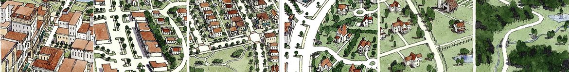
Subdivision control is another way the Planning Commission can shape its community’s character. This tool is used to influence the layout of lots and streets and coordinate the construction of public infrastructure to support homes and businesses.
April 1st, 2024, all City of Chattanooga Major and Minor Plat applications will no longer be received via email, they must be submitted through Open Gov.
May 1st, 2024, all Unincorporated Hamilton County Major and Minor Plat applications and variance applications and City of Chattanooga subdivision variance applications will no longer be received via email, they must be submitted through Open Gov.
RPA Plats
There are three (3) types of RPA plat reviews:
Questions? Contact the RPA at subdivision@chattanooga.gov
Application & Resources
Click on a link below.
- General Subdivision Information
- Subdivision Regulations
- Subdivision Plat Approval Process
- Chattanooga Standard Street Construction Details
- Hamilton County Standard Street Construction Details
- Major Subdivision Plat Submittal Guidelines
(Currently being updated. Please contact us if you have any questions.)