The Area Plan is Now Adopted
The Historic River-to-Ridge Area Plan is now officially adopted! On September 14th, 2020 the Chattanooga-Hamilton County Regional Planning Commission voted “no action” on the resolution to adopt the Area 3 Plan, as amended by City Council, which means that the version voted on by City Council is now ratified and approved.
In the coming weeks and months, staff will be working to give the plan an in-depth visual polish, update the Area 3 webpage, and produce educational materials on Place Types for use by developers, builders, and the general public.
THANK YOU again to everyone involved for your participation throughout the plan process. With your help, this document will serve as a guiding vision for future development and investment in your communities!
The adopted plan and accompanying Place Types map may be found at the links below.
- Historic River-to-Ridge Area Plan:
Low Resolution PDF for quick viewing
You can also find the Appendices for the Area Plan HERE.
If you have questions about the Historic River-to-Ridge Plan, please send them to the following email address and include “Area 3” in the subject line: areaplan@chattanooga.gov
Previous Historic River-to-Ridge Website Posts
September 9, 2020 – Bailey Avenue Project Update from CDOT
In partnership with RPA’s Historic River-to-Ridge Plan, CDOT is excited to announce the upcoming construction of a project, which focuses on expanding transportation choices and including more sidewalks, bike lanes and transit service. This fall the long-awaited second-phase of the Martin Luther King Boulevard/Bailey Avenue repaving and restriping project will begin. The Bailey Avenue project, which is 80% funded by a Federal grant, provides a continuation of the safer and more comfortable roadway reconfiguration successfully implemented along MLK Boulevard.
The project features substantial improvements for pedestrians, such as upgraded ramps at intersections, a much-needed pavement overlay, and re-striping to include three vehicle travel lanes and new bike lanes along the entire length to Dodds Avenue. Also known as road right-sizing, and sometimes referred to as a road diet, the conversion of four lanes (or more) to three is backed by significant analysis, traffic modeling, and public input.
As was experienced on MLK and other streets across Chattanooga, as well as nationally, road right-sizing projects are shown to reduce crashes, reduce speeds, which inturn lowers the severity of crashes when they do occur, and makes our streets more comfortable and safer for everyone. On MLK, we’ve seen positive responses from business owners who have benefited from the increased usage by pedestrians. Residents who also enjoy the safer, calmer street say the street feels quieter and more comfortable.
For more detailed information and to sign up to receive project updates, visit cha.city/chestnutbailey. Included in our connect page is a detailed report outlining the public input and analysis that we used in planning for the project.
July 28, 2020 – City Council Vote
The Chattanooga City Council voted unanimously to approve the staff version of the Historic River-to-Ridge Plan with one additional amendment.
July 14, 2020 – City Council Public Hearing
Twelve people, representing neighborhood associations and businesses from the Historic River-to-Ridge Area, spoke (or submitted written comments) in support of the Area Plan during the City Council’s Public Hearing.
July 7, 2020 – City Council Committee Presentation
The Staff presented the Historic River-to-Ridge Area Plan to the City Council during their Committee Meeting.
May 18, 2020 – Planning Commission Vote
The Chattanooga-Hamilton County Regional Planning Commission voted to recommend approval of the Historic River-to-Ridge Area Plan with nine modifications.
April 23, 2020 – Planning Commission Workshop
On April 23, the Chattanooga-Hamilton County Regional Planning Commission held a workshop to discuss potential modifications to the draft Historic River-to-Ridge Area Plan.
The last 20 minutes of the workshop was reserved for public comments, during which a few community members spoke or submitted written comments.
Materials from the meeting, are available by clicking on the links below.
- April 23 Workshop Agenda
- April 23 Presentation
- Summary of Public Comments from March 9 Planning Commission Meeting
March 9, 2020 – Planning Commission Meeting
Several neighborhood association and business representatives from the Historic River-to-Ridge Area attended the March 9 Planning Commission meeting and spoke about the Plan. After hearing these comments, the Planning Commission voted to defer taking action on the Plan until May to allow more time for their review of the document.
February 21, 2020 – Planning Commission Workshop
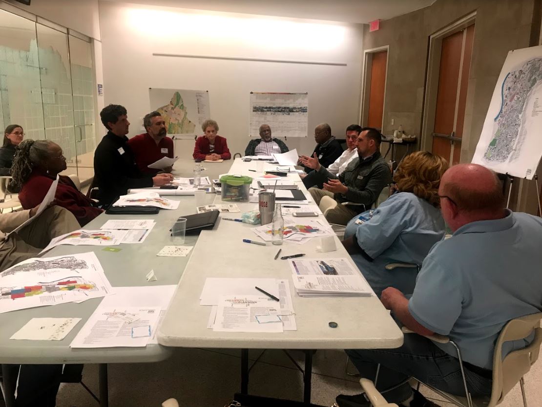
On February 21, 2020, the Chattanooga-Hamilton County Regional Planning Commission held a special public workshop to review the draft Historic River-to-Ridge Area Plan. Below is a summary of the key questions or issues discussed during the workshop.
- Density, Transit and Businesses: Do the Place Types promote density that is appropriate for this urban area, and that is sufficient to support the transit frequencies and new business development that the community wants? The existing density is low.
- Place Type Descriptions: The Place Types narrative (Urban Residential, Mixed Residential, etc.) seems too prescriptive and reads more like zoning than policy.
- Corridor Depths: Is the mapping of the Urban Corridor and Mixed-Use Corridor Place Types deep enough to accommodate the scale of transit-oriented development envisioned? Explore taking these Corridor Place Types all the way back to the next street (as opposed to the alleys) to provide sufficient depth for the multi-story buildings and parking needed.
- Reserve and Conservation-Based Place Types: The term “Reserve” makes it sound like those areas should be reserved with no development. The term “Conservation-Based Residential” has a similar connotation. Should we wait for the results of the City Council review of the natural resources report before finalizing this language in the plan?
- Place Type images: There are too many non-local images; more local examples are needed.
- Urban Residential (UR) and Mixed Residential (MR) Place Types: We need a better understanding of their purpose and the thresholds used (units per lot) to differentiate between these two Place Types. Would some of the recent housing projects in the City fit in these Place Types?
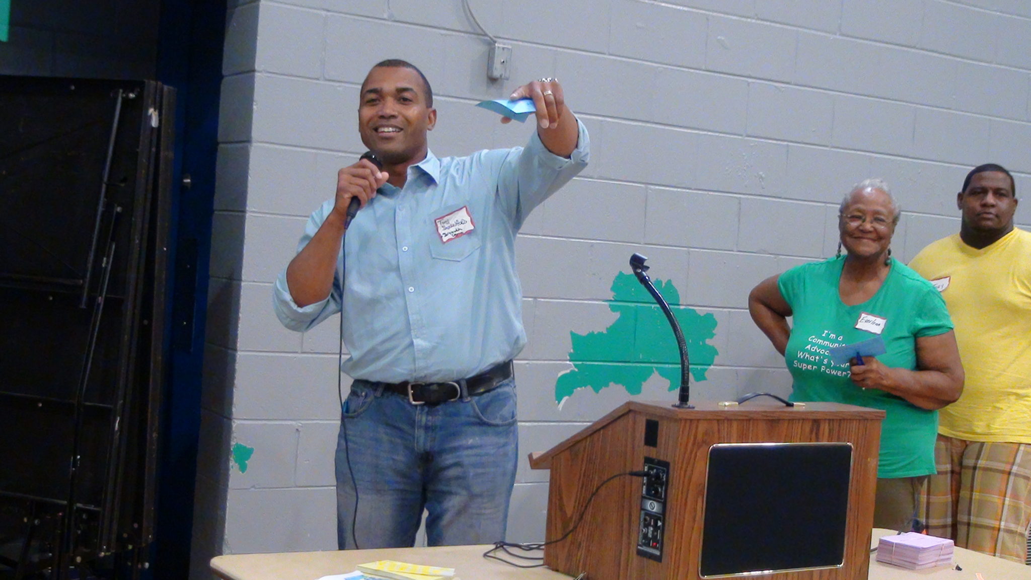
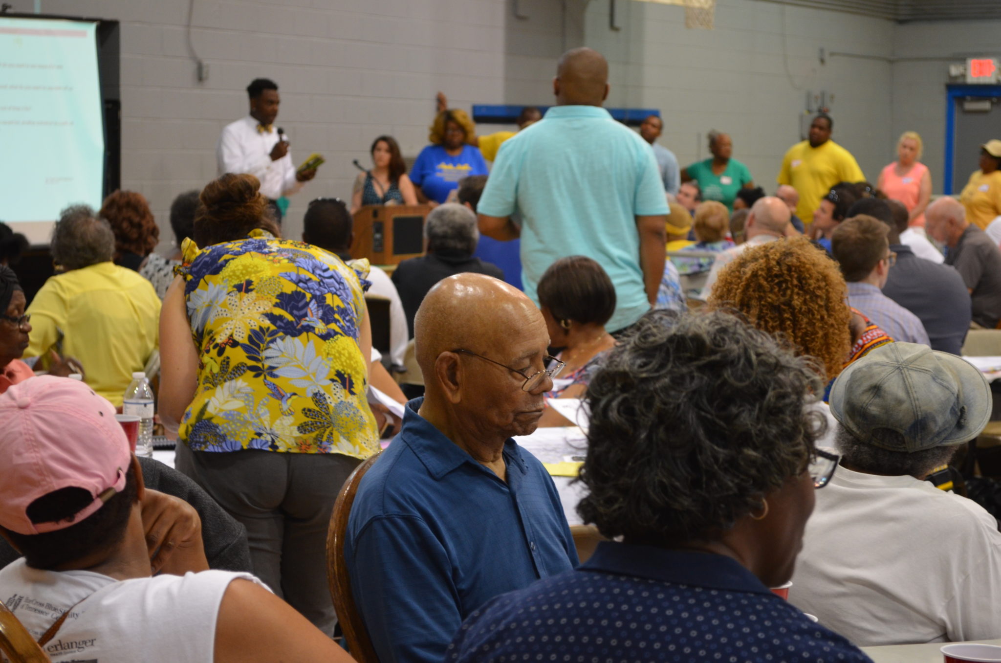
September 28, 2019 Public Meeting
Below are links to information that was distributed at the September 28 public meeting.
- Frequently Asked Questions – 9.28.19. HERE
- Historic River-to-Ridge Draft Plan Power Point Presentation 9.28.19. HERE
- Place Types Map – 9.28.19. HERE
- Subarea Maps:
North HERE
Middle HERE
South HERE - Tubman Site Information https://connect.chattanooga.gov/tubmansite/
ALSO – You can still see the Community Choices Survey results HERE.
A CENTERS APPROACH TO AREA 3 PLANNING
The RPA is taking a Centers approach to mapping future land use and Place Types, and this approach is being used for the Area 3 planning process. What do we mean by a Centers approach? Below is some information to help explain it.
WHAT IS A “CENTER”?
Centers are places that have a concentration of retail, restaurants, and office buildings. Residential units are often located on the upper floors and light, artisanal industrial uses can even be included. Multiple commercial buildings are often clustered around a public park or civic use, such as a courthouse or post office. Centers often contain historic buildings that make them unique from other parts of the community.
Ideally, Centers are adequately spaced so they do not compete with one another, and to equitably provide retail options to nearby residents. Centers are surrounded, and supported by, employment and residential areas.
Centers are compact and walkable places, with a network of connected streets and sidewalks, and multi-story buildings and shops that front directly onto the sidewalks. A combination of on-street parking and shared parking lots behind the buildings provide convenient vehicular access to the businesses.
Centers come in different types and sizes. In the more urban parts of Chattanooga, the RPA has identified four general types of Centers: the Downtown Core, Town Centers, Village Centers, and Neighborhood Nodes.
|
Downtown Core |
Town Center |
|
Village Center |
Neighborhood Node |
The Downtown Core is, of course, the largest and most dense Center.
Next in size are Town Centers. Town Centers serve a large area and, as a result, typically occupy 8 to 20 acres with building heights of up to five stories. Fairly large buildings such as hotels, apartment buildings, or movie theaters are often located in Town Centers.
Village Centers are smaller (3 to 10 acres) and typically serve a more local market than Town Centers. Village Centers have many of the same uses, including residential, but buildings are usually smaller (2 – 4 stories.)
Neighborhood Nodes are the smallest urban Center (2 acres or less.) They are generally clustered around a single intersection and primarily provide goods and services to the immediate surrounding neighborhoods. Buildings are only 1 to 3 stories high.
WHY ARE CENTERS IMPORTANT?
Centers provide a clustering of stores, offices and other uses in convenient locations to service the surrounding communities. Because multi-family housing is also located within and immediately surrounding Centers, some people have the ability to walk to jobs, shopping, or recreation without requiring a car.
Transit requires a high concentration of businesses and housing to function well, so directing those types of uses to these compact Centers improves the viability of more frequent transit service.
Community festivals, farmers markets, and other events often take place in Centers. They are the places where residents can come together to celebrate their community’s traditions and culture.
Centers also have important economic benefits. Retail businesses tend to be more successful when they are clustered together in a central location. Each business can then benefit from the customers drawn to the area by neighboring businesses. Centers can also provide for a more efficient use of limited City resources. Infrastructure costs for sidewalks, street lights, street trees and other amenities can be targeted to designated Centers instead of spread thin across an entire area.
THE RETAIL MARKET
We know the national retail market is changing dramatically due to impacts from online shopping, large discount stores and growing customer preferences for more unique shopping experiences. As a result the number of new “bricks and mortar” stores is likely to be very limited. One only has to drive along a commercial corridor in most any city to notice the many closed or marginal businesses reflecting these changes in the retail market.
We therefore need to be very strategic about where new retail is located. It needs to be clustered in mixed-use, walkable Centers that also support transit. Area 3 participants in the Community Choices survey also clearly expressed a preference for walkable retail Centers.
Based on these retail trends, community input, and an analysis of traffic volumes, transit routes, population densities and other factors, the RPA has identified a number of locations in Area 3 that may be designated as commercial Centers. These Centers are where new retail development should be encouraged going forward.
In his new book, Principles of Urban Retail Planning and Development, Robert Gibbs, a national Retail/Marketing expert, suggests that a 30,000 square foot Center (which includes a mix of retail and other uses) requires about 2,000 households within a half-mile (which is about how far people are typically willing to walk) to be viable. For comparison:
- Thirty thousand square feet of retail equates to about three Dollar General stores.
- Chain grocery stores, such as Food City or Publix, average about 50,000 square feet.
- A small, local “mom & pop” retail shop is typically about 4,000 square feet.
- Area 3, as a whole, contains about 9,574 households.
A 30,000 square foot Center
(which includes a mix of retail
and other uses)
requires about 2,000
households within
a half-mile (which is about
how far people are
typically willing to walk)
to be viable.
Based on these trends, the RPA is recommending a limited number of commercial Centers in Area 3. There may be potential for two Village Centers in Area 3, and Glass Street and McCallie Avenue are locations that are being explored for those larger Village Centers. However, most of the Centers in Area 3 will be smaller Neighborhood Nodes – encompassing only a few lots around an intersection – so as not to dilute this limited retail market, and will be located throughout Area 3 to provide access to the greatest number of residents. This does not mean that retail won’t be allowed anywhere else, but instead, when future requests for commercial zoning occur, the Area 3 Plan will recommend that such zoning be directed to these designated Centers. Over time, this clustering of retail will lead to the more mixed-use, walkable development the community desires.
EXISTING COMMERCIAL CORRIDORS
The major corridors between these Centers can still be excellent locations for other businesses, such as offices, light artisanal industries, churches or civic buildings. Additionally, these corridors can accommodate new higher-density, multi-family residential uses to help supply a growing need for more diverse and affordable housing choices. Clustering such higher-density residential around the Centers, and along major corridors, also leaves the existing single-family residential neighborhoods intact, without the encroachment of multi-family housing, which was another strong desire expressed by Area 3 residents in the Community Choices Survey and public meetings.
Commercial Corridor
SUMMARY OF PROPERTY OWNER / CENTERS MEETINGS – June 2019
During June, the RPA chose six of the Centers locations being considered and invited property owners from each to an exploratory meeting to discuss some conceptual ideas and to share any future plans they had for their property. The presidents from each Neighborhood Association bordering these Centers were also invited to participate in the discussion. Representatives from the City’s Economic & Community Development, Capital Budgeting, and Transportation departments also participated in most of the meetings. The following are some of the key points that came out of these meetings.
- The walkability of these Centers must be improved with better pedestrian crossings, wider sidewalks, transit shelters, on-street parking, and bike lanes.
- Many existing commercial buildings will require substantial investments / incentives to bring them up to current codes.
- City capital improvement funds are always limited and should be targeted to these designated Centers, once they are finalized, to make the most efficient use of tax revenues and to get the “biggest bank for the buck.”
- The City should use its assets (capital budget, grants, property, etc.) to support the goals in the Area 3 Plan.
- Shared parking is needed behind commercial buildings.
- In order to support the businesses in these Centers, higher-density, multi-family residential needs to be built around them and along the connecting corridors. Most of the potential Centers being studied have large, vacant sites or buildings nearby that could be redeveloped for these uses.
- Many commercial properties need better landscaping and storefront design.
- Pedestrian connections to nearby parks and schools need to be improved.
- Zoning for these Centers needs to change to allow a mix of uses (including residential and live/work units) and to promote walkability.
- Overgrown lots and litter are problems in many locations.
SUMMARY OF SURVEY RESULTS
You can access the summary HERE.
SURVEY BACKGROUND INFORMATION
Focused on one or more of the top issues identified by the Area 3 Community, the background sections for each survey were intended to provide informative data and a summary of relevant trends. Click
below for a link to each.
- Commercial Centers
- New Development and Jobs
- Housing Options
- Parks, Greenways and Open Spaces
- Transportation
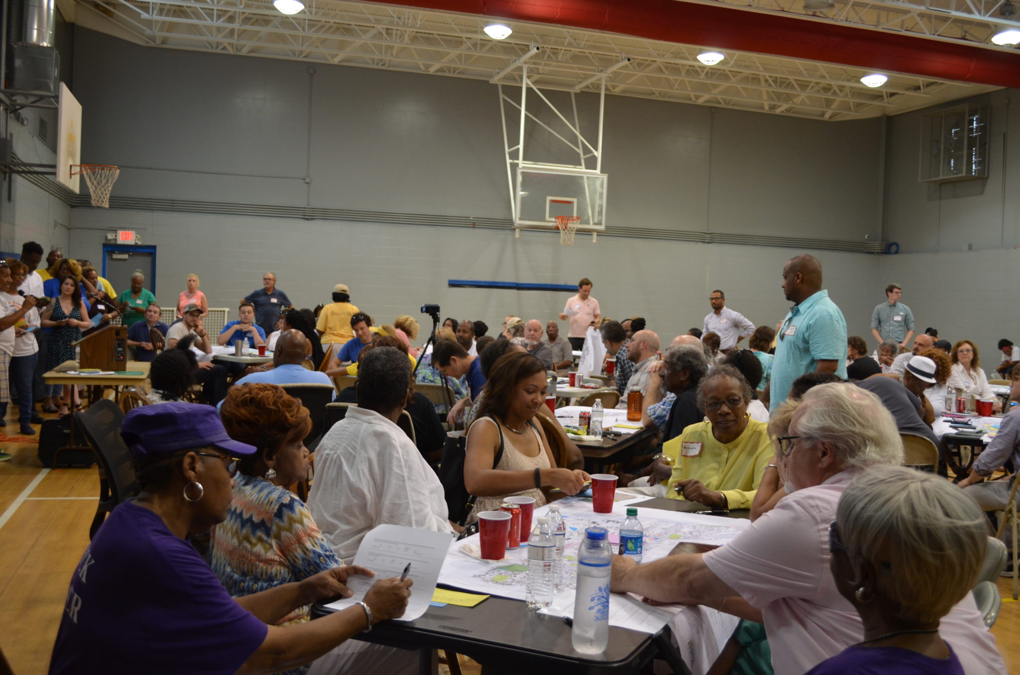
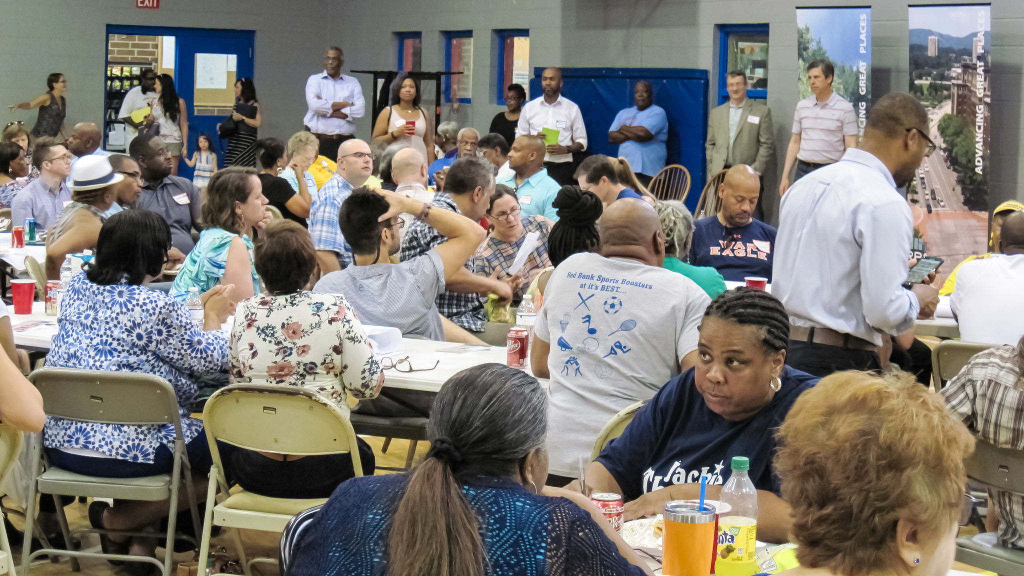
MARCH 2019 COMMUNITY WORKSHOPS
Three public workshops were held in March at the YFD Recreation Centers in Area 3 to involve more community members. Lots of school children participated in these workshops and shared many creative ideas. See a summary of the Workshop Results HERE.
JANUARY 26, 2019 PUBLIC MEETING RESULTS
Attendees at the January 26 public meeting worked in 12 different groups, drawing on maps of Area 3, and providing suggested locations for new commercial centers, housing, major employers, greenways and parks, as well as places where pedestrian/bicycle facilities are needed.
The Staff has consolidated the information from those maps into a composite map for each subarea (north, middle and south.) Some common themes and locations for new development are emerging. The maps generated at each table are available. Click below for
a link to each:
JUNE 2018 KICK-OFF MEETING
During the Kick-off meeting in June, over 150 attendees identified some critical issues. Results from that first public meeting are attached HERE.
SIGN UP FOR EMAIL UPDATES
Sign up below to receive periodic updates on our progress and to stay informed about upcoming meetings.
Please contact Pam Glaser, Principal Planner at the RPA if you have questions or need additional information.
pglaser@chattanooga.gov 423-643-5911
AREA 3 BACKGROUND INFORMATION
Area 3 generally falls within the following boundaries:
- North: South Chickamauga Creek
- East: Missionary Ridge
- South: Interstate-24; and
- West: Central Avenue, the railroad, and the Tennessee River
Area 3 includes the following Neighborhood Associations:
-
-
- Avondale
- Battery Heights
- Boyce Station
- Bushtown
- Churchville
- Ferger Place
-
-
-
- Gaylon Heights
- Glass Farms
- Glenwood
- Highland Park
- Oak Grove
- Orchard Knob
-
-
-
- Park Central
- Ridgedale
- Riverside
- Waterhaven
- Wheeler
-
Advisory Committee: Serving as a representative sampling of the various interests throughout the community, the Area 3 Advisory Committee is comprised of neighborhood association presidents and a handful of other business and community leaders. Their main objective is to generate ideas, disseminate information to the Area 3 community, and provide feedback to the staff.
What is an Area Plan? For more information click HERE.